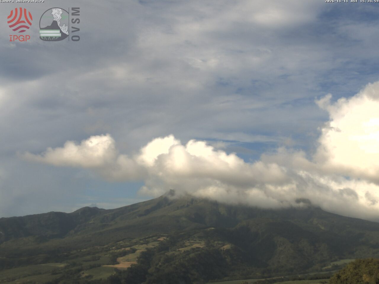
What you can see on the Mount Pelée cam
The camera looks at the summit of Mount Pelée and its long, gently rising slopes from the volcano observatory, in an image renewed through the day. On many mornings the top is wrapped in a cap of cloud that lifts and settles as the hours pass.
Mount Pelée from the observatory
This camera looks at Mount Pelée, the volcano of northern Martinique, from its observatory: the summit and the long slopes falling away to either side, with the cloud that so often caps the mountain gathering and lifting through the day. The image is renewed several times an hour.
The observatory of the Institut de physique du globe de Paris watches the volcano day and night; this camera lets anyone see whether the summit is clear today.
The eruption of 1902
On the morning of 8 May 1902, a glowing avalanche of gas and ash swept down the slopes of Mount Pelée and reached Saint-Pierre in less than two minutes. Almost all of its roughly 28,000 people died. The eruption gave its name to a type of volcanic activity, the Peléan eruption, and led to the founding of the observatory that has watched the volcano ever since. Pelée, 1,397 m (4,583 ft) high, last erupted in 1929–1932.
When to watch Mount Pelée
Martinique keeps Atlantic Standard Time all year, four hours behind UTC. The summit is often in cloud, especially in the afternoon and in the rainy season, from June to November; early mornings in the dry season, from about February to April, give the best chance of seeing it.
Nearby
The ruins of the old theatre, the cathedral and the prison cell where one of the few survivors was protected are in the town itself. The coast road continues north to Le Prêcheur, and the hiking trails to the summit start on the eastern side of the mountain, at L'Aileron.
Getting there
The town is about 40 minutes' drive north of Fort-de-France. Cars drive on the right. The volcano is watched by its observatory, which publishes its alert level: hikers check it, and the weather, before climbing.