Riviera Maya live webcams
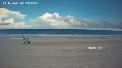
The coast south of Cancun, live: Puerto Morelos, Playa del Carmen, Akumal, Xel-Há and Tulum.
Riviera Maya, place by place 8
No place matches this search.
Photos: authors and licences of the 5 images
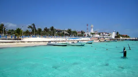
- Puerto Morelos: Elelicht, CC BY-SA 3.0
- Xcaret: FeldBum, CC BY-SA 4.0
- Xpu-Ha: Wasquewhat, CC BY-SA 4.0
- Xel-Há: LBM1948, CC BY-SA 4.0
- Puerto Aventuras: F.J.OGALLAR, CC BY-SA 3.0
From Puerto Morelos to Tulum
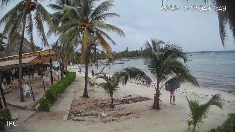
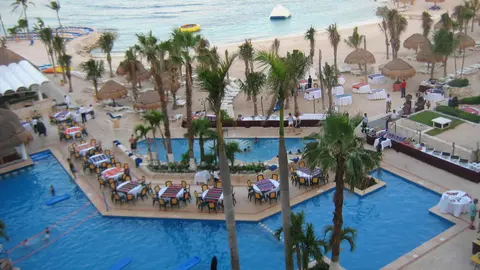
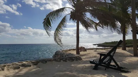
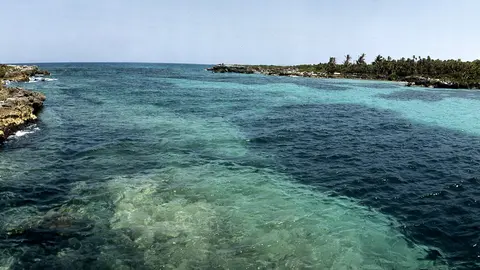
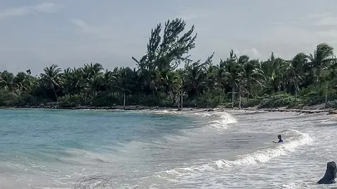
The Riviera Maya is the stretch of Caribbean coast that runs south from Cancun, from the fishing village of Puerto Morelos to Tulum, roughly 100 km (60 miles) of white beaches, small bays and low forest. Playa del Carmen, in the middle, is its largest town and the place where the ferries leave for Cozumel. The cams on this page go from north to south: the village beach of Puerto Morelos, Playa del Carmen's beaches and its pedestrian Fifth Avenue, Playacar and Xcaret, the marina town of Puerto Aventuras, the quiet beach of Xpu-Ha, Akumal Bay, the inlet of Xel-Há and the hotel zone of Tulum.
Highway 307, the cenotes and the reef
One road ties the whole coast together: Highway 307, which runs south from Cancun a short way inland, with every town and beach reached by a turnoff to the sea. Inland there are no rivers on the surface. The rain flows underground through the limestone and surfaces in cenotes, natural pools of fresh water, some linked to flooded caves among the longest in the world. Offshore runs the Mesoamerican Reef, about 1,000 km (more than 600 miles) long, which shelters bays like those of Puerto Morelos and Akumal.
The quieter south
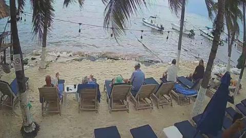
South of Puerto Aventuras the towns thin out and the highway runs past long beaches and forest full of cenotes. Xpu-Ha is a long, calm beach; at Akumal, green turtles graze on seagrass inside the reef; at Xel-Há, underground rivers flow into the sea; and Tulum's beach runs south from a Maya city on the cliffs toward the Sian Ka'an Biosphere Reserve. Most of the cams along the coast belong to hotels on the sand. The two on Akumal Bay are run by a local travel company, and the Webcams de México network watches Fifth Avenue, Xcaret and Xel-Há.
When to watch
The whole coast faces east, so the sun rises out of the sea in front of almost every cam, and the water shows its best colors from late morning. The high season runs from December to April. From spring to autumn, sargassum seaweed comes and goes with the wind and the currents, and the cams are the quickest way to see where it is. Quintana Roo is five hours behind UTC all year.