Virgin Islands live webcams
St John, St Croix, St Thomas and the British Virgin Islands, live.
Virgin Islands, place by place 12

No place matches this search.
Photos: authors and licences of the 7 images
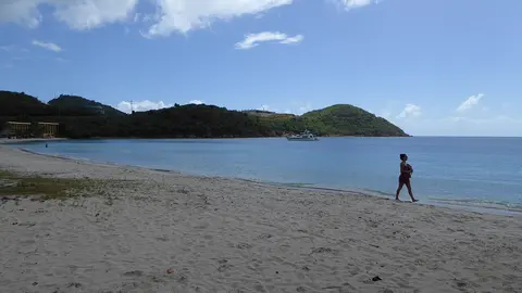
- Sapphire Beach: PunctuatedArt, public domain
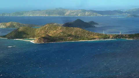
- Cooper Island: giggel, CC BY 3.0
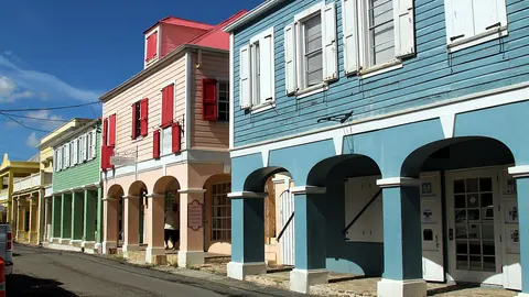
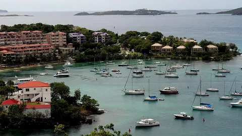
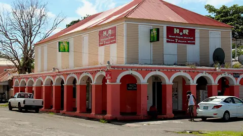
- Cruz Bay: Prayitno, CC BY 2.0
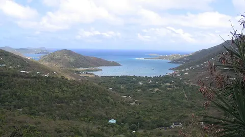
- Coral Bay: en:User:Bonus Onus, CC BY-SA 3.0
- Christiansted: Prayitno, CC BY 2.0
- Frederiksted: Prayitno, CC BY 2.0
- Lindbergh Bay: User:Mattes, CC BY 2.0 de
Two flags, one archipelago
The Virgin Islands are a chain of green, hilly islands east of Puerto Rico, split between two countries. St Thomas, St John and St Croix are a territory of the United States, where Americans travel without a passport; Tortola, Virgin Gorda, Jost Van Dyke and some fifty smaller islands and cays to the east are the British Virgin Islands. Ferries link the two sides in under an hour.
Island by island
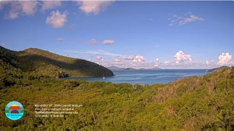
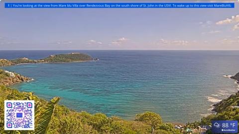
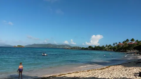
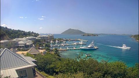
St John has the most cameras: Cruz Bay, the ferry town, and the bays around the island, Coral Bay, Maho Bay and Rendezvous Bay. On St Croix they watch the harbour of Christiansted and the beaches of Frederiksted; on St Thomas, Sapphire Beach and Lindbergh Bay. On the British side, the cams look over White Bay on Jost Van Dyke, North Sound on Virgin Gorda, Cooper Island and the marina of Scrub Island, off the east end of Tortola.
The sailing islands
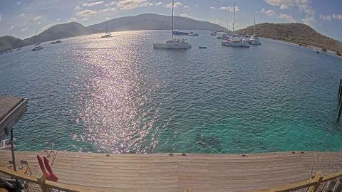
What makes the Virgin Islands different is the water between them. Short distances, steady trade winds and dozens of sheltered bays have made them one of the busiest yacht-charter areas in the world, and many of the cams look over anchorages as much as beaches: catamarans on moorings in White Bay, North Sound and Manchioneel Bay, and the beach bars that sailors row ashore to.
Beyond the cams
On St Thomas, Magens Bay on the north coast is the island's best-known beach, and Charlotte Amalie, the capital, has a harbour busy with cruise ships. St John, a short ferry ride away, is mostly a national park, with the underwater snorkel trail of Trunk Bay. On the British side, The Baths on Virgin Gorda pile giant granite boulders on the sand, and Anegada, far to the north, is a flat coral island known for its reefs, its flamingos and its lobster.
Getting around the islands
Most visitors fly into St Thomas, whose airport has the most direct flights from the United States, or into Beef Island, next to Tortola, for the British side. From St Thomas, ferries leave Red Hook and Charlotte Amalie for St John and for the British islands, and inter-island ferries and water taxis link Tortola, Virgin Gorda and Jost Van Dyke. Crossing between the two countries means passing immigration, so travellers carry their passports. On both sides cars drive on the left and the US dollar is the everyday currency.
When to watch the Virgin Islands
Both sides share Puerto Rico's clock, UTC−4, with no change in summer. Winter brings the steadiest weather and the most boats; storms are a risk from June to November, and in September 2017 Irma and Maria struck the islands one after the other.