What you can see on the Calabash Cove cam
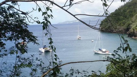
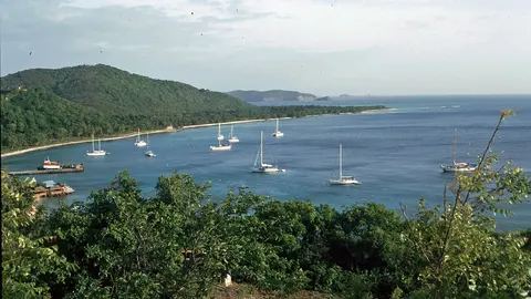
The camera looks down over the resort from high on the hill: the green roofs of the cottages, the terraces, the infinity pool, the tropical gardens that tumble down to the shore and the open Caribbean beyond, where ships pass on their way to and from Castries. It shows the colour of the sea and the weather over the west coast of the island through the day.
Calabash Cove from the hillside
From high on the hillside of the Calabash Cove resort, this camera looks down over its cottages with their green roofs, the terraces and the infinity pool, and the tropical gardens running down the slope, with the Caribbean Sea filling the background and the occasional ship on the horizon.
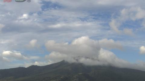
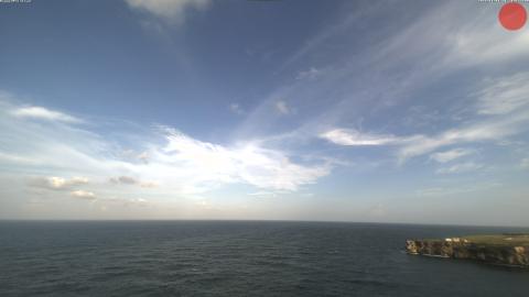
It shows the weather and the colour of the sea on the north-west coast of Saint Lucia through the day.
The north-west coast of Saint Lucia
Saint Lucia is a mountainous island of the Windward Islands, about 180,000 people on some 620 km² (240 sq mi), best known for the two volcanic peaks of the Pitons in the south-west. Its north-west coast is the busiest part of the island: Castries with its cruise port, the long beach of Reduit at Rodney Bay, the marina and, at the tip, Pigeon Island, a national landmark joined to the mainland by a causeway.
When to watch Saint Lucia
Saint Lucia keeps Atlantic Standard Time all year, four hours behind UTC. The west coast is sheltered from the trade winds and catches the sunset over the sea. The dry season runs from about December to May; the rainy season, from June to November, is also the hurricane season.
Around Calabash Cove
Rodney Bay, with its beach, restaurants and marina, is a few minutes north, and Gros Islet, the fishing village famous for its Friday-night street party, just beyond. Castries and its market lie a few minutes south.
Getting to Saint Lucia
Most international flights land at Hewanorra, in the south of the island, more than an hour's drive away; the smaller George F. L. Charles airport, near Castries, is much closer to the north-west coast.