What you can see on the Coral Bay cams
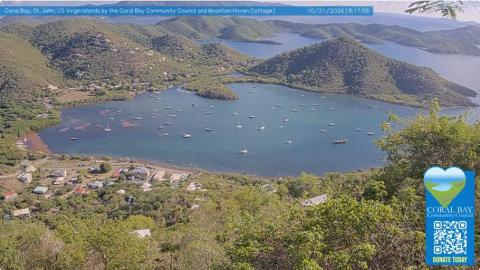
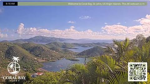
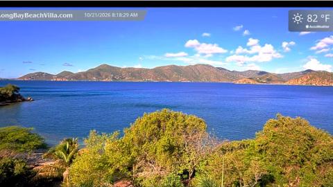
From the hills above the head of the bay, the cams look down on the whole harbour: the boats at anchor scattered across the calm water, the houses of the village along the shore and the wooded arms of the east end reaching out to sea. The higher view goes further, over the inlets of Hurricane Hole to the islands of the British Virgin Islands on the horizon, and a third, at the water's edge on Long Bay, looks straight across the bay to the line of hills beyond.
The whole harbour of Coral Bay
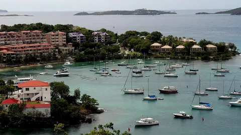
From a hillside above the head of the bay, this camera looks down on all of Coral Bay: the village and its roofs along the shore, dozens of boats at anchor spread across the calm water, and the wooded arms of the east end reaching out to sea, with more hills and bays beyond.
It is the best cam to see how the harbour is doing: how full the anchorage is, the colour of the water and the rain clouds coming in from the east. The Coral Bay Community Council shares it.
Coral Bay and the British Virgin Islands
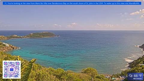
Higher up and further east, this camera looks over palms in the foreground to the inner arms of Coral Bay and Hurricane Hole, with their scattered boats, and on to the mountains of Tortola and the British Virgin Islands on the horizon.
The long view makes it easy to see squalls crossing the channel and the haze over the islands, and it gives the clearest idea of how close the two countries are.
Calm water at Long Bay
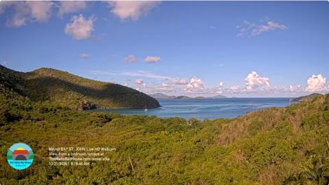
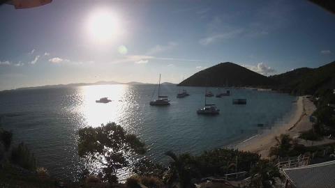
From a villa at the water's edge on Long Bay, this camera looks straight out over low trees and a rocky shore to the calm, wide water of the bay, with a long line of green hills across it that turns gold in the morning sun.
Down at sea level, it is the one to read the water itself: how smooth or choppy it is and how the wind ruffles the surface.
The first harbour of St John
Coral Bay was the first place on the island settled by the Danes, in 1718, and its sheltered water made it the main harbour of the colony. The slave revolt of 1733, one of the longest of the colonial Caribbean, broke out at the fort above the bay and spread across the island for months. Today the bay is home to a fleet of liveaboard boats and to the floating bars and small restaurants that give the east end its laid-back character.
When to watch Coral Bay
St John keeps Atlantic Standard Time all year, four hours behind UTC. The bay faces south-east, into the morning sun, so the light is best in the afternoon. The water inside the bay stays calm while the trade wind blows outside; the hurricane season runs from June to November, and many boats shelter in the bay's arms when a storm approaches.
Nearby
The road south leads to Salt Pond Bay and the trail to Ram Head, the southern tip of the island, inside the national park. To the north-east, the East End road climbs along the coast to Haulover Bay and the little settlement of Hansen Bay.
Getting there
Coral Bay is about half an hour's drive from Cruz Bay over the Centerline Road, which crosses the hills of the island. Cars drive on the left. The bay is a working anchorage, so swimmers keep to the beaches rather than the moorings.