What you can see on the Cooper Island cam
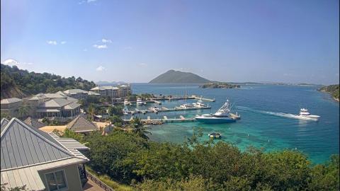
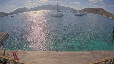
The camera stands on the hillside above Manchioneel Bay, at Quart-a-Nancy Point. It looks down on the bay, the yachts on their moorings and the line of the islands across the Sir Francis Drake Channel. Its 24-hour replay makes it easy to see how the weather and the anchorage have changed through the day.
Manchioneel Bay from Quart-a-Nancy Point
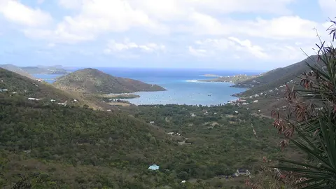
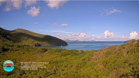
From the hillside above Manchioneel Bay, framed by palm fronds and the roof of a small hut, this camera looks down on the bay. Yachts lie on their moorings in the turquoise water, a small beach curves along the shore, and across the Sir Francis Drake Channel the hills of the other islands line the horizon.
Windy replays its last 24 hours, which shows how the light and the anchorage change. The camera belongs to the island's beach club.
A stop on the sailing route
Manchioneel Bay takes its name from the manchineel, a tree with poisonous fruit and sap that grows along many Caribbean shores. The bay is sheltered from the trade wind, the reefs at either end are good for snorkelling, and some of the best-known dive sites of the BVI are close by, among them the wreck of the RMS Rhone, a mail ship that sank off neighbouring Salt Island in a hurricane in 1867.
When to watch Cooper Island
The yachts arrive in the afternoon and leave in the morning, so the time-lapse shows the bay filling up towards evening.
Nearby
Salt Island and Peter Island lie to the west, Virgin Gorda and The Baths to the east, and Road Town, on Tortola, is about an hour's sail to the north-west.
Getting there
The island is reached only by boat: on a charter yacht, a day trip or the resort's own boat from Tortola.