What you can see on the Maho Bay cams
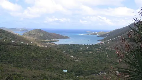
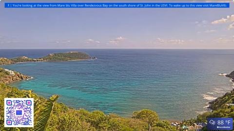
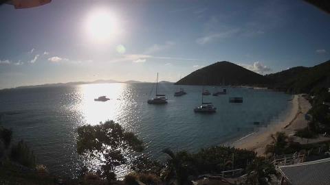
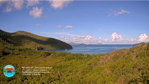
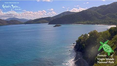
One camera looks from a villa terrace above the bay, over the dense forest of the national park, to the curve of Maho Bay and the cays on the horizon. The other is perched high on Windswept Point, above the north shore, and looks down on the calm, dark-blue water of the bays and the steep wooded hills that drop straight into them.
Forest and sea above Maho Bay
From the bedroom terrace of a rental villa above the bay, this camera looks over the dense green forest of the national park to the curve of Maho Bay, a sailboat or two at anchor, and the cays on the horizon beyond the point.
It shows the bay as visitors see it from the road, and the colour of the sky over the north shore through the day.
The north shore from Windswept Point
Perched on Windswept Point, high on the north shore of St John, this camera looks down along a steep wooded headland to the dark blue water of the bays below and the hills of the national park folding away into the distance, with a small rocky islet offshore.
The water here is deep and sheltered, and from this height the wind lines on the surface and the passing showers show clearly. Kimberly Boulon, a local artist, provides it with Friends of the Virgin Islands National Park.
Turtles in the seagrass
The bay is sheltered from the trade wind and its sandy bottom is covered with seagrass, the food of green sea turtles. They graze a few metres from shore, surfacing to breathe every few minutes, and stingrays and small fish move over the sand around them. The land around the bay was given to the national park, and the road runs right along the beach.
When to watch Maho Bay
St John keeps Atlantic Standard Time all year, four hours behind UTC. The bay faces north, so the light is even through the day, and the water is calmest in the morning. In winter, north swells can occasionally reach the north shore and stir up the sand.
Nearby
Francis Bay, just to the east, has another long beach and a boardwalk through a salt pond with birds. To the west lie Cinnamon Bay, with its campground and the ruins of a sugar factory, and Trunk Bay, with its underwater snorkelling trail.
Getting there
Maho Bay is about 15 minutes' drive from Cruz Bay along the North Shore Road. There is roadside parking along the beach, which fills up early in high season. The beach has no lifeguards: snorkellers keep a respectful distance from the turtles and never touch them.