What you can see on the Puerto Morelos cams
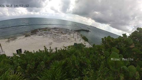
One view looks over the village beach, where the fishing and tour boats ride at anchor inside the reef. The other looks over a resort pool and beach south of the village. The thin white line of breaking waves far out is the reef itself, and on a calm morning the water inside it turns a pale turquoise.
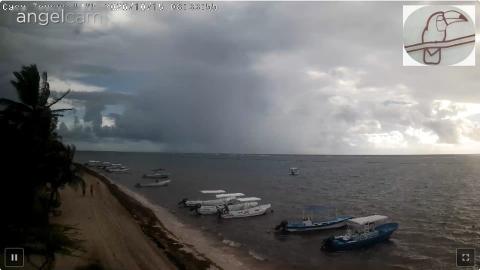
Puerto Morelos village beach from Casa Toucan
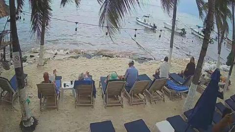
Set just above the sand in the village, this camera looks along the beach where Puerto Morelos keeps its boats. A palm leans in from the left; the narrow beach runs away along the shore, and right in front, a few meters out, small fishing launches with canopies swing at anchor in water that is calm and shallow inside the reef. Further out, more boats dot the bay toward the horizon.
It is the most village-like view on this coast, and the one to check for the state of the water close to shore. The small hotel Casa Toucan streams it through Angelcam, with its toucan logo in the corner.
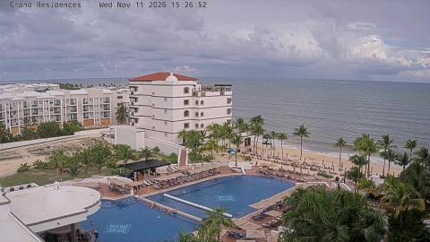
Grand Residences, south of Puerto Morelos
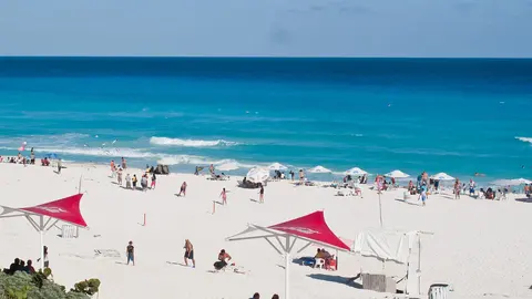
High on a resort building south of the village, this camera looks down on a white, domed pavilion and two large pools with mosaic tiles, lined with loungers and umbrellas. To the left stand the resort's white buildings with terracotta roofs; to the right a row of palms runs along the beach, and the open sea fills the top of the picture.
The shoreline is visible all the way along the right side, so the view shows the color of the water and any weed on the sand as well as the pools. Royal Resorts, which runs the property, streams it with its name and the time across the top.
A reef that became a national park
The Puerto Morelos Reef National Park was created in 1998, after a campaign by local people, and protects about 9,000 hectares (22,000 acres) of sea in front of the village. It is part of the Mesoamerican Reef, which runs south as far as Honduras. Inside the reef, rays and turtles feed on seagrass meadows. On the waterfront stands the village's best-known landmark: an old lighthouse that has leaned toward the sea since a hurricane washed out its foundations in 1967.
When to watch Puerto Morelos
At dawn the sun rises beyond the reef, and the line of breakers stands out white against the first light. In the afternoon, with the sun at the cams' back, the water inside the reef shows its brightest colors. Days of strong east wind are the ones to compare: the open sea turns rough beyond the breakers, while the strip in front of the village stays far gentler, which is the reef doing its work. On those days the anchored boats tell you whether the snorkel trips are going out.
Nearby
Inland, the Ruta de los Cenotes leads west into the forest past a string of cenotes, the freshwater sinkholes of the Yucatán. Just south of the village, a botanical garden of about 65 hectares (160 acres) keeps native forest with trails and spider monkeys. Cancun's airport is about 20 km (12 miles) to the north.
Getting there
The village lies just off Highway 307, and it has a station on the Tren Maya. Snorkeling trips to the reef leave from the village beach in small boats with local guides authorized by the park. Use mineral sunscreen or a rash guard, and never stand on or touch the coral.