What you can see on the Xel-Há cam
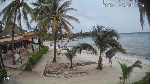
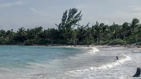
The view runs across the inlet: calm green and blue water, rocky limestone banks and the tropical forest that comes down to the edge. Because the cove is enclosed, its surface is usually smooth even when the open sea is choppy. The cam shows the color of the water, the weather and how busy the inlet is.
The Xel-Há inlet from above
From a high point on the shore, this camera looks across the main inlet of the Xel-Há park. A broad sheet of calm, dark green water fills the lower half of the picture; on the far side a long, low bank of forest runs from left to right, with pale limestone rocks along the water's edge, and a big sky stretches above it.
Because the inlet is sheltered, the surface is smooth most days, and the view is more about the color of the water and the clouds than about waves. Webcams de México streams it, with the park's logo in the corner.
Where fresh water meets the sea
The Yucatán Peninsula has no rivers on the surface: rain soaks into the limestone and travels underground until it reaches the coast. At Xel-Há several of them flow into the inlet. Fresh water is lighter than salt water, so the two do not mix at once; where they meet, a layer called a halocline forms, and the water looks blurred and shimmering, like heat over a road. The name is usually translated from the Maya as "where the water is born". Across the highway lies the archaeological site of Xel-Há, an ancient Maya port where traders, pilgrims and sailors found shelter.
When to watch Xel-Há
The inlet runs inland from the sea, so the early light comes in along it from the east and catches the limestone banks. By midday the sun is high and the water shows its brightest blues and greens over the pale rock. The quietest hours are the first and last of the park's day, before the swimmers arrive and after they leave, when the surface is left to the fish and the reflections of the forest.
Nearby
Just north, the beaches of Xcacel and Xcacelito are a state turtle sanctuary and one of the most important nesting beaches in Mexico for green and loggerhead turtles. Akumal and its bay are about 10 km (6 miles) north. Tulum, with its Maya city on the cliffs, is about 14 km (9 miles) south.
Getting there
The inlet lies inside a private park with an entrance fee; its hours, prices and activities vary, so look them up on the park's own website first. Its entrance is on the east side of Highway 307, and the archaeological site is on the west side. Wherever you swim, wear a rash guard or reef-safe sunscreen and leave the coral and the fish alone.