What you can see on the Lajas Valley cam
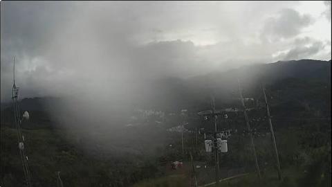
The camera looks north across the pastures of a University of Puerto Rico agricultural experiment station. In the foreground stretches open grassland divided by wire fences; further back, cattle graze near the farm sheds and silos, and on the horizon rise the green hills of the central mountains. The grass dries to straw in the dry season and greens up again when the autumn rains arrive, which is exactly what the camera is there to record.
Grassland and grazing in the valley
This PhenoCam stands on a short NEON tower in the Lajas Valley and looks north over the pasture of the farm research station that the university runs in the valley. The grass is only about forty centimeters tall, so the camera sees the whole field down to the fence lines, the cattle near the farm buildings, tall silos and, behind, the hills of the Cordillera Central.
Like the forest camera at Guánica, it photographs the vegetation through the day to follow how the grass dries out in the dry months and greens up again with the rains of autumn.
Farmland protected by law
The valley runs from Yauco to Boquerón, in Cabo Rojo, and in 1999 a law turned it into the Lajas Valley Agricultural Reserve, to keep its land for farming. The experiment station in the picture was founded in 1946 to develop agriculture in the southwest. Today its land and a neighboring private farm also form a research site of NEON, the U.S. ecological observatory network, with a short tower that has measured the grassland since 2016. The area sees about 830 millimeters of rain a year, most of it between September and November. A tethered radar balloon of U.S. Customs and Border Protection flies nearby, so air traffic over the valley is restricted.
When to watch the Lajas Valley
Early morning, when the low sun lights the hills and the cattle move across the pasture, is the best time. Compare a picture from the dry months with one from October or November to see the valley change color.
Nearby
The Laguna Cartagena National Wildlife Refuge, once one of the island's most important freshwater wetlands for migrating birds, is just a couple of kilometers away. The fishing village of La Parguera, founded in 1825, is about six kilometers south, and its Bioluminescent Bay is one of the three in Puerto Rico. The colonial town of San Germán is a short drive north.
Getting there
The valley is crossed by quiet country roads between the town of Lajas, founded in 1883, and the coast. Most visitors come for La Parguera's mangrove channels and its glowing bay at night, and pass the farms on the way.