What you can see on the Parlatuvier cam
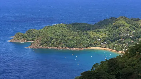
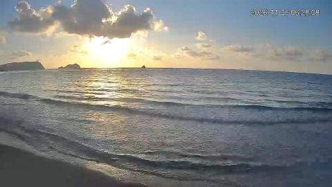
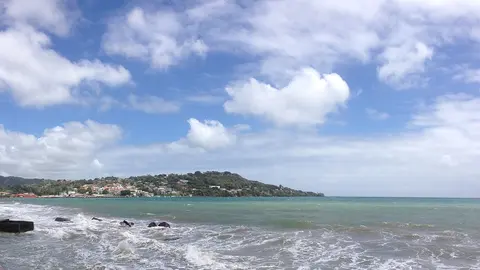
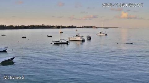
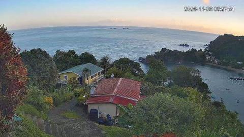
The camera looks down from the hillside above the village: the roofs of the houses in the foreground, the bay with its boats below, the rocky point that shelters it and the green coast running away to the horizon, with a few islets offshore. It is a wide view, best on clear mornings, when the colours of the water range from deep blue to green.
Parlatuvier Bay from the hill
From the hillside above the village, this camera looks over the roofs of the nearest houses to the round bay of Parlatuvier, its boats at anchor and the rocky, forested point that shelters it, with the north coast of Tobago fading towards the horizon and a few islets offshore.
It is a wide, high view that shows the weather coming over the hills and the colour of the sea, from deep blue to green in the shallows.
A bay in the forest
The north coast of Tobago is the wild side of the island: steep, forested hills drop straight into the sea, cut by small bays where villages like Parlatuvier grew up around fishing. Behind the village, a road climbs into the Main Ridge Forest Reserve, protected since 1776 and home to many of the island's birds, before crossing to Roxborough on the Atlantic side.
When to watch Parlatuvier
Tobago keeps Atlantic Standard Time all year, four hours behind UTC. The dry season, from January to May, gives the clearest views; in the rainy season, from June to December, showers come and go over the hills. Early morning is when the fishermen go out.
Around Parlatuvier
Bloody Bay, a quiet beach, lies just to the east, and Englishman's Bay and Castara to the west along the coast road. The road over the Main Ridge passes the start of the Gilpin Trace, a forest trail popular with birdwatchers.
Getting to Parlatuvier
The village is on the north-coast road, beyond Castara, or can be reached across the ridge from Roxborough. From the airport at Crown Point allow well over an hour by car on narrow, winding roads.