What you can see on the Maracas Beach cam
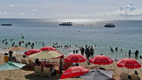
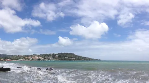
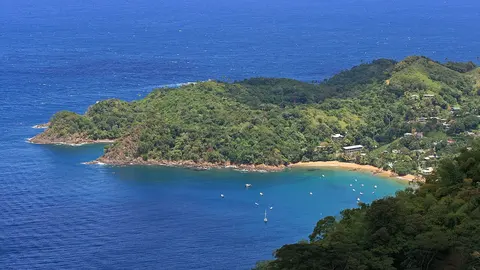
The camera looks down over the beach from its back edge, through a wide lens: the loungers and the umbrellas, the palms at the back of the sand, the waves breaking along the bay and the green headlands that close it on both sides. It shows how big the surf is, how busy the beach gets and how the weather changes over the hills.
Maracas Bay from the back of the beach
From the slope at the back of the beach, this wide-angle camera looks down over the loungers, the umbrellas and the palm trunks to the long sweep of sand and the waves rolling into Maracas Bay, with the forested headlands closing the bay on either side.
It shows the surf and the weather at a glance, and how the beach fills up from the quiet mornings to the busy weekend afternoons.
Bake and shark
Maracas is famous for a dish as much as for its sand. Along the beach, food stalls fry bake and shark: pieces of seasoned shark in a fried flatbread, topped at the counter with sauces and salads of every kind. The dish is a classic of Trinidad's street food, and Maracas is the place most associated with it.
When to watch Maracas Beach
Trinidad keeps Atlantic Standard Time all year, four hours behind UTC. The dry season runs from about January to May; the rains come from June to December. The north coast faces the open sea, so the waves are often bigger here than on the sheltered shores of the Gulf of Paria, on the west side of the island.
Around Maracas Beach
The North Coast Road climbs over the Northern Range from Port of Spain and passes a lookout high above the bay before it comes down to the beach. Further east along the coast lie Las Cuevas Bay and the smaller beaches and fishing villages of the north coast, and inland the rainforest of the Northern Range has waterfalls and hiking trails.
Getting to Maracas Beach
Maracas Beach is reached from Port of Spain along the winding North Coast Road over the mountains. Piarco International Airport, Trinidad's main airport, is east of the capital. Cars drive on the left.