What you can see on the Gustavia cam
The camera looks from the hillside above town, over a carpet of red roofs, to the narrow harbour packed with yachts and motorboats, the hills on its far side and the open sea, with St Martin sometimes visible on the horizon.
Red roofs and yachts in Gustavia
From the hillside above Gustavia, this camera looks over a carpet of red roofs to the narrow harbour of the capital of St Barts, packed with yachts and motorboats, the forts on its two sides and the open sea beyond, where the larger yachts anchor outside.
It is the classic view of the town and the best way to see how busy the harbour is, especially in the winter season.
The Swedish capital
France ceded the island to Sweden in 1784, and the little port of Le Carénage was renamed Gustavia after King Gustav III. The Swedes made it a free port, and it remains one: there is no sales tax on the island. The Swedish period left its mark in the town hall, in a few stone buildings and in street signs written in French and Swedish. Fort Karl and Fort Gustave overlook the harbour from either side.
When to watch Gustavia
St Barts keeps Atlantic Standard Time all year, four hours behind UTC. The harbour is fullest from Christmas to New Year, when the largest yachts gather, and in March and April for the Bucket and the Voiles de Saint-Barth regattas. The hurricane season runs from June to November.
Nearby
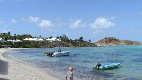
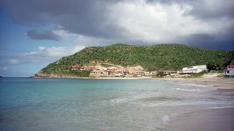
Shell Beach, a short walk from the town, is a small cove covered with tiny shells. Saint-Jean, with its bay and the airport, is five minutes over the hill, and Colombier, at the north-west tip, can only be reached by boat or on a footpath.
Getting there
Ferries from Philipsburg and Marigot, on St Martin, take about 45 minutes; small planes from St Martin land at the airport in Saint-Jean. Cars drive on the right, and the town is small enough to explore on foot.